


How GPS Works: Navigating the Science of Satellite-Based Positioning
Discover how the Global Positioning System (GPS) works, from satellites transmitting radio signals to trilateration, atomic clocks and relativity corrections, and learn how this technology enables precise location and navigation.


Introduction: The Invisible Grid That Guides Us
Global Positioning System (GPS) technology has become so common that we rarely stop to think about the extraordinary science behind it. Every time you check your location on a smartphone, rely on a navigation app to avoid traffic, or watch a package make its way to your door, you are tapping into a precise system of satellites and signals that spans the planet. But how does GPS work, and why can it place you within meters anywhere on Earth? This article breaks down the concepts behind satellite navigation and explores how cutting‑edge physics and engineering enable us to know exactly where we are.
The GPS Constellation: A Network in Space
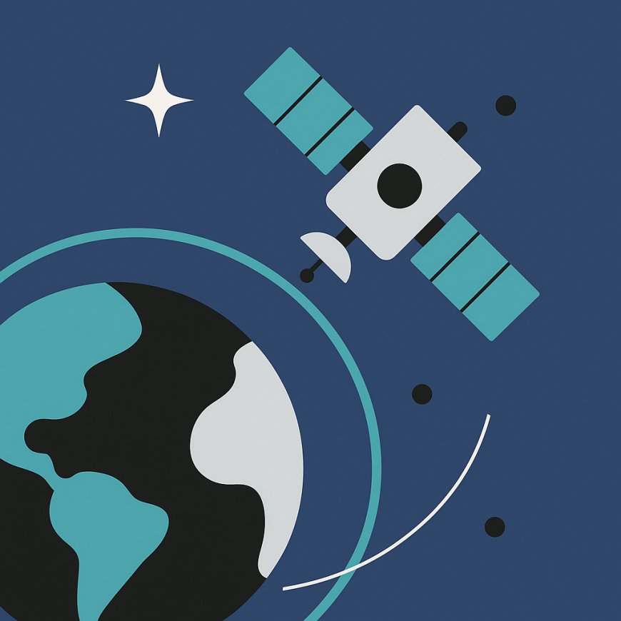
GPS is a global navigation satellite system (GNSS) consisting of a constellation of at least 24 operational satellites orbiting the Earth in six orbital planes. Each satellite circles the planet twice every 24 hours at an altitude of about 20,200 kilometers. These satellites are arranged so that at any given time, a receiver on the ground can “see” at least four of them. This redundancy is crucial for accuracy and reliability.
Unlike stars that are fixed relative to one another, GPS satellites are constantly moving. Their orbits are designed for stability and coverage. Each satellite continuously transmits radio signals containing the satellite’s precise position and the time the message was sent. These signals travel at the speed of light, meaning they take about 0.07 seconds to reach the surface of the Earth.
Signal Structure and Receiver Measurements
To use GPS, a device on the ground—such as a smartphone, car navigation unit or survey instrument—must receive signals from multiple satellites. Each GPS signal carries information about the satellite’s orbit (ephemeris data) and time codes generated by highly accurate atomic clocks aboard the satellite. The receiver compares the time stamp in the incoming signal with its own internal clock to calculate how long the signal travelled. By multiplying this time by the speed of light, the receiver determines its distance to that satellite. This measurement is called a pseudo‑range because it includes errors due to clock differences and atmospheric delays.
Trilateration: Solving for Position
The GPS receiver uses a mathematical process called trilateration to compute its position. If you know your distance from one satellite, you know you lie somewhere on a sphere surrounding that satellite. Two satellites restrict your position to a circle where two spheres intersect. With three satellites, your location narrows down to two points—one of which is usually far from Earth and can be disregarded. To solve for latitude, longitude, and elevation accurately, the receiver also needs to account for the difference between its internal clock and the universal time kept by the satellites. This is why GPS receivers ideally use signals from at least four satellites: three for position and one to calibrate the clock error.
Atomic Clocks: The Heartbeat of GPS
Each GPS satellite carries multiple atomic clocks that keep time with extraordinary precision—within a billionth of a second (nanoseconds). The most common types are cesium and rubidium clocks. GPS depends on this precision because even a timing error of one millionth of a second would translate to a positioning error of about 300 meters. To keep the network synchronized, the satellites are continuously monitored by ground control stations that compare their time signals and adjust them as needed.
Relativity Corrections: Einstein in Your Pocket
A surprising aspect of GPS accuracy arises from Einstein’s theories of relativity. Because GPS satellites are moving relative to the Earth’s surface and are also in a weaker gravitational field high above the Earth, their clocks run at slightly different rates than clocks on the ground. Special relativity predicts that moving clocks tick more slowly. General relativity, meanwhile, predicts that clocks in weaker gravity tick faster. In GPS, the net result is that satellite clocks run faster than ground clocks by about 38 microseconds per day. If uncorrected, this would accumulate into a position error of over 10 kilometers per day! Engineers account for relativity by pre‑adjusting satellite clocks and applying real‑time corrections in receiver software.
Sources of Error and Correction Techniques
Even with accurate clocks and relativity corrections, GPS signals face sources of error. The ionosphere and troposphere—layers of Earth’s atmosphere—slow radio waves slightly, introducing delays. Multipath effects occur when signals bounce off buildings, mountains, or other surfaces, causing them to take longer paths to the receiver. There are also small errors in satellite orbits, known as ephemeris errors. Receiver noise, caused by electronic components and local interference, can add further uncertainty.
To reduce these errors, several techniques are used. Differential GPS (DGPS) employs fixed ground reference stations at known positions. These stations receive GPS signals and compute real‑time corrections that nearby receivers can apply, improving accuracy to within a meter. Satellite‑based augmentation systems (SBAS) such as the Wide Area Augmentation System (WAAS) provide corrections for entire regions. Many smartphones and modern GNSS receivers automatically incorporate these corrections. Additional systems like Russia’s GLONASS, Europe’s Galileo, and China’s BeiDou can be combined to increase the number of satellites available, further enhancing accuracy and resilience.
Applications Beyond Navigation
Initially developed for the U.S. Department of Defense, GPS has transformed numerous civilian industries. In transportation, car navigation systems provide turn‑by‑turn directions, and fleet managers track vehicles for logistics and safety. Aviation relies on GPS for precise approaches and to optimize flight paths. In agriculture, farmers use GPS for precision planting and harvesting, reducing waste and increasing yields. Surveyors use high‑precision GPS instruments to map land parcels and construct infrastructure with centimeter‑level accuracy. Emergency responders rely on GPS to locate callers and coordinate disaster relief. Even the financial industry uses GPS time signals to timestamp transactions and synchronize networks. These examples illustrate how deeply GPS has become woven into the fabric of modern society.
The Future of Satellite Navigation
The Global Positioning System continues to evolve. Newer GPS Block III satellites provide increased power and more robust signals. There is ongoing work to integrate multiple GNSS constellations, improving availability in urban canyons and under tree cover. Researchers are exploring quantum clocks and optical frequency standards that could further improve timing precision. On the consumer side, location services are combining GPS with Wi‑Fi positioning, Bluetooth beacons, and inertial sensors to provide seamless indoor/outdoor navigation. As autonomous vehicles, drones, and smart cities become more common, reliable and accurate positioning will be more important than ever.
A Window Into the Invisible
Behind the convenience of a blue dot on a map lies a sophisticated blend of physics, engineering, and mathematics. The Global Positioning System brings together atomic clocks, radio signals, trilateration, and relativity theory to create a real‑time, planet‑wide positioning system. Understanding how GPS works not only satisfies curiosity but also highlights the ingenuity of scientists and engineers who translated theoretical physics into a tool we use every day. Next time you navigate a new city or track an incoming delivery, remember the satellites overhead and the invisible grid of signals guiding you with pinpoint precision.
What's Your Reaction?